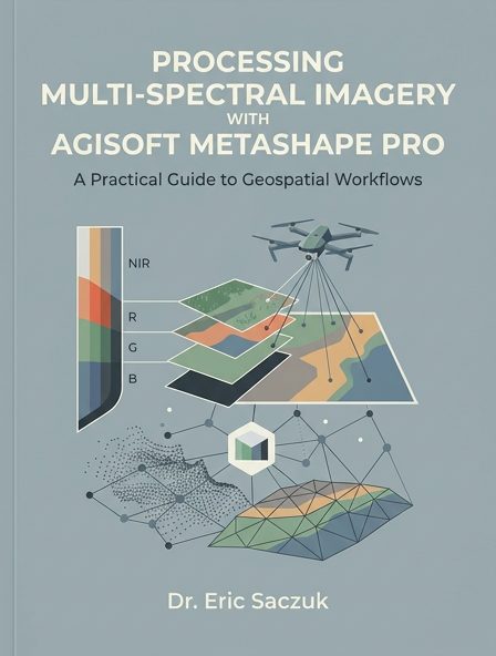
Processing Multi-spectral Imagery with Agisoft MetaShape Pro
About This Book
Part 1 – Project Setup Overview The steps necessary to add a local geoid and custom Python scripts to MetaShape are described below. Geoids In order to improve the horizontal and vertical accuracy of maps and 3-D models generated in Photoscan, it is sometimes necessary to apply a local geoid. Any geoids in the correct data format can be used or they can be downloaded from Agisoft here. Once downloaded, they must be copied to the Agisoft geoids directory (e.g. C:\Program Files\Agisoft\MetaShape P
| Category | technology |
|---|---|
| Subject | Geographical information systems, geodata and remote sensing, Robotics, Geographical information systems, geodata and remote sensing, Image processing |
| Year | 2023 |
| Authors | |
| Chapters | 3 |
| Word Count | |
| Price | |
| License | Creative Commons - Attribution Share-Alike - https://creativecommons.org/licenses/by-sa/4.0/ |