How to Use a Sextant
Use a map to find your position above sea level.. Sight the horizon by looking through the scope at the horizon mirror.. Move the index arm until you see the object you're trying to measure.
Steps
Use a map to find your position above sea level.
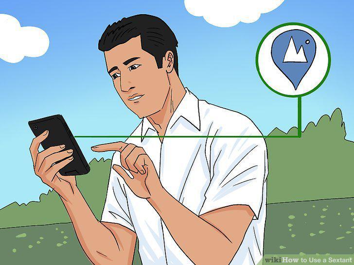
Use a map to find your position above sea level.
Sight the horizon by looking through the scope at the horizon mirror.
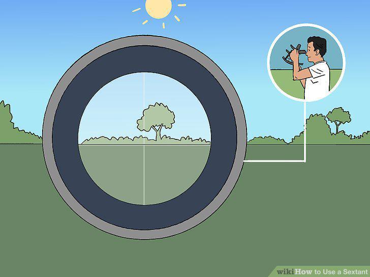
Sight the horizon by looking through the scope at the horizon mirror.
Move the index arm until you see the object you're trying to measure.
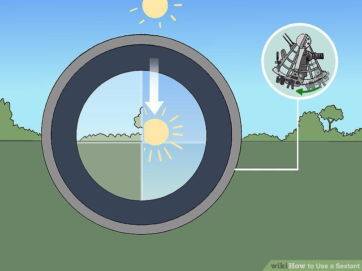
Move the index arm until you see the object you're trying to measure.
Adjust the arm until the object appears close to the horizon.
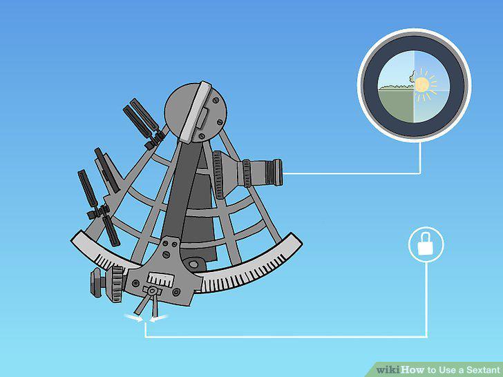
Adjust the arm until the object appears close to the horizon.
Turn the micrometer knob until the object rests on the horizon.
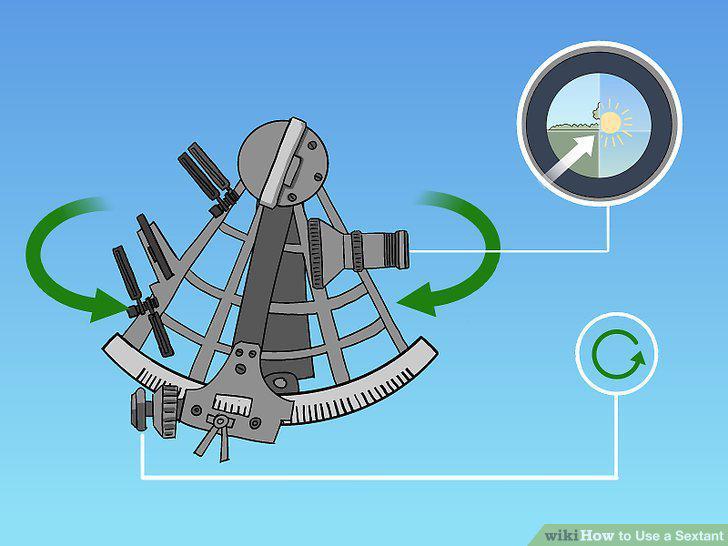
Turn the micrometer knob until the object rests on the horizon.
Record the time at which you made your sighting.
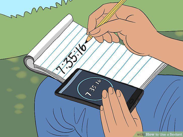
Record the time at which you made your sighting.
Look at the position of the index arm and the micrometer knob to find the angle.
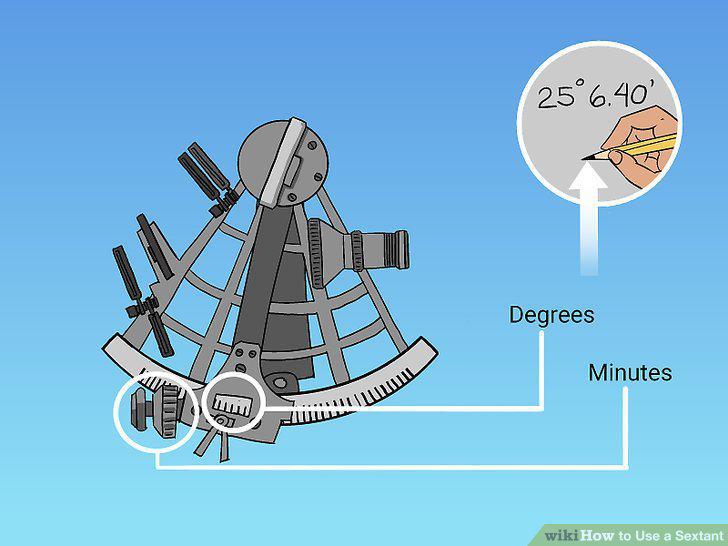
Look at the position of the index arm and the micrometer knob to find the angle.
Adjust for index error if your sextant gives a horizon reading greater or less t
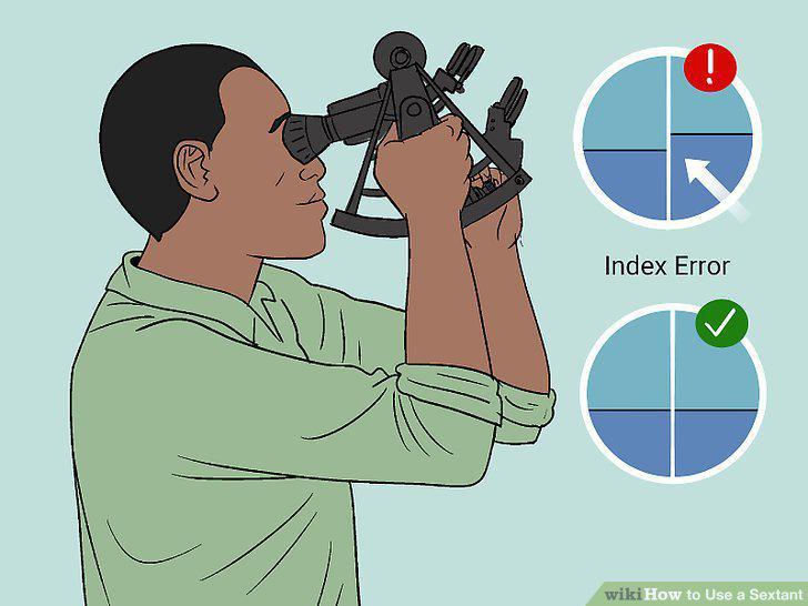
Adjust for index error if your sextant gives a horizon reading greater or less than 0°.
Correct for dip to account for your distance above sea level.
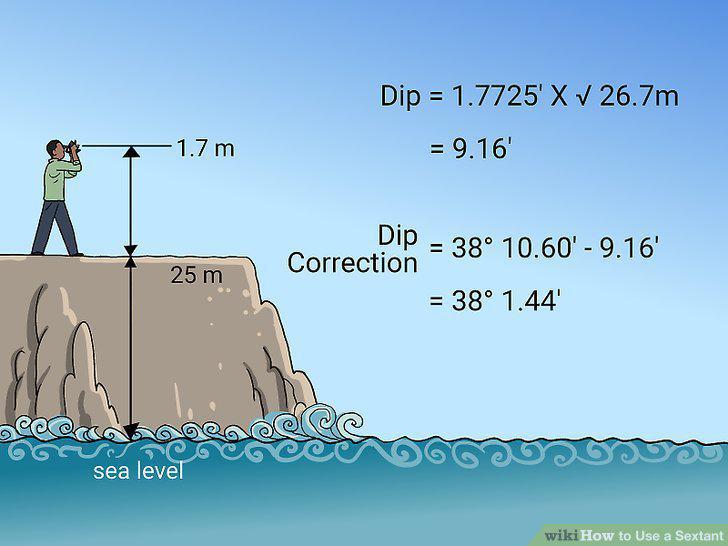
Correct for dip to account for your distance above sea level.
Consult the Nautical Almanac to correct for refraction errors.
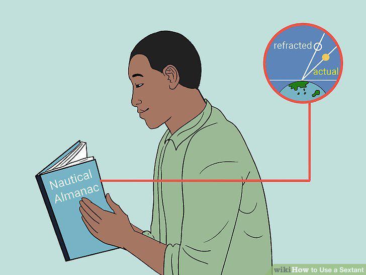
Consult the Nautical Almanac to correct for refraction errors.
Use a semi-diameter correction if you're observing the sun or moon.
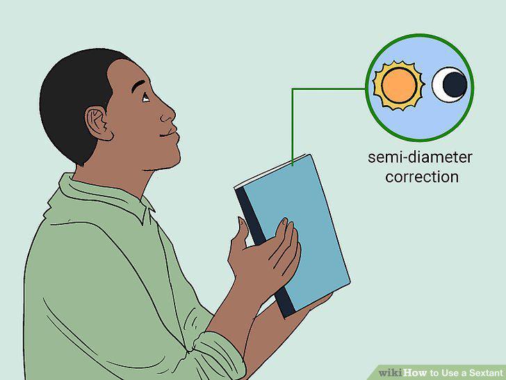
Use a semi-diameter correction if you're observing the sun or moon.
Make a parallax correction using your Nautical Almanac.
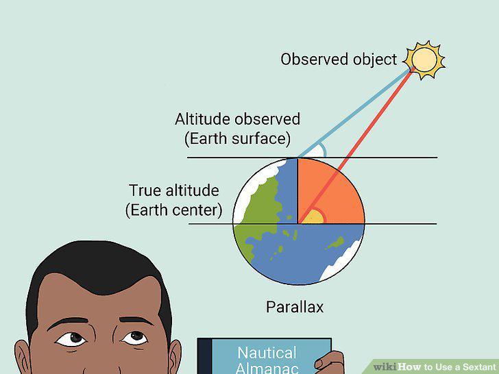
Make a parallax correction using your Nautical Almanac.
Find the sun's angle of elevation at its highest point.
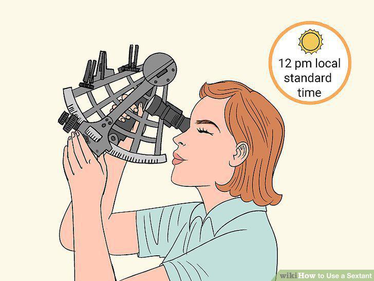
Find the sun's angle of elevation at its highest point.
Make corrections for index error, dip, refraction, semi-diameter, and parallax.
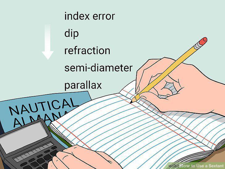
Make corrections for index error, dip, refraction, semi-diameter, and parallax.
Subtract your corrected altitude from 90°.
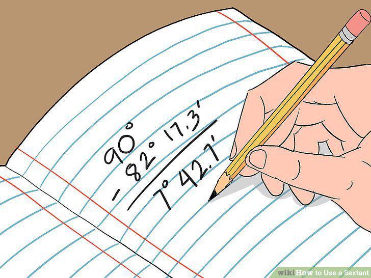
Subtract your corrected altitude from 90°.
Use the Nautical Almanac to determine the declination of the sun.
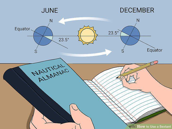
Use the Nautical Almanac to determine the declination of the sun.
Add or subtract the declination of the sun to find your latitude.
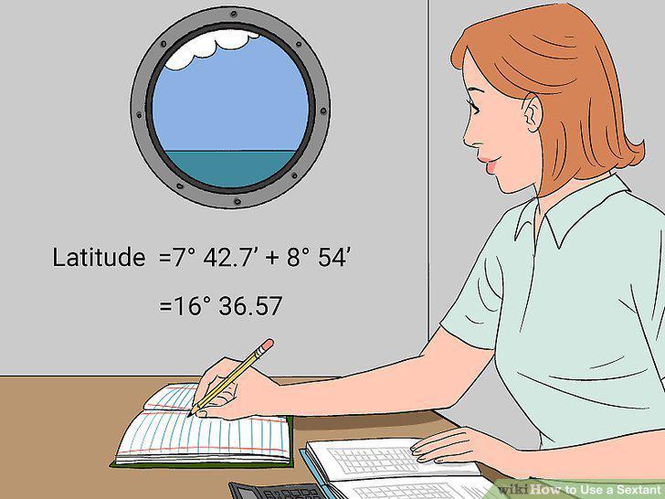
Add or subtract the declination of the sun to find your latitude.
Comments (0)
No comments yet. Be the first to share your thoughts!